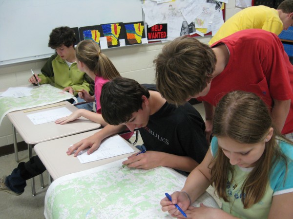
 This past week we wrapped up our topographic discussions by holding a topography lab. In this lab students were given topographic maps from various areas in Northwest Arkansas, they were asked a variety of questions that required them to use latitude, longitude, townships, and range lines. Students used these lines to located various landforms. As we move forward for the remainder of the semester we will take a look at soil and how to create optimal growing conditions.
Mr. McClung


Hi, my name is Melissa Jones and I am a student in Dr.Strange’s EDM 310 class. I think it is great that you share your classroom experiences on the web.I’m sure the students’ parents appreciate the fact that they can see what their kids are doing in school.Thanks for sharing your class with the world. As a education student it is extremely helpful to see what is going on in classrooms.
What a wonderful way to utilize real-life resources. Hopefully, these students will remember the skills they learned in this lab. I would love to know what the students thought of this project.
Hello! My name is Rachel and I am a student in Dr. Strange’s EDM310 class at the University of South Alabama. The topography lab that you discuss in your post sounds extremely fascinating! I am certain that any parent would be impressed with this information about their child’s experiences. The assignment given in the lab sounds intriguing and I know that I have never been assigned anything like it.